Lake Sorapis Hike: Info, Map & Tips for Better Experience (Dolomites, Italy)
This site contains affiliate links, which means that we may earn a small commission, at no cost to you, for qualifying purchases. It supports the work that goes into keeping this content free. Thanks for reading! More info: Privacy Policy.
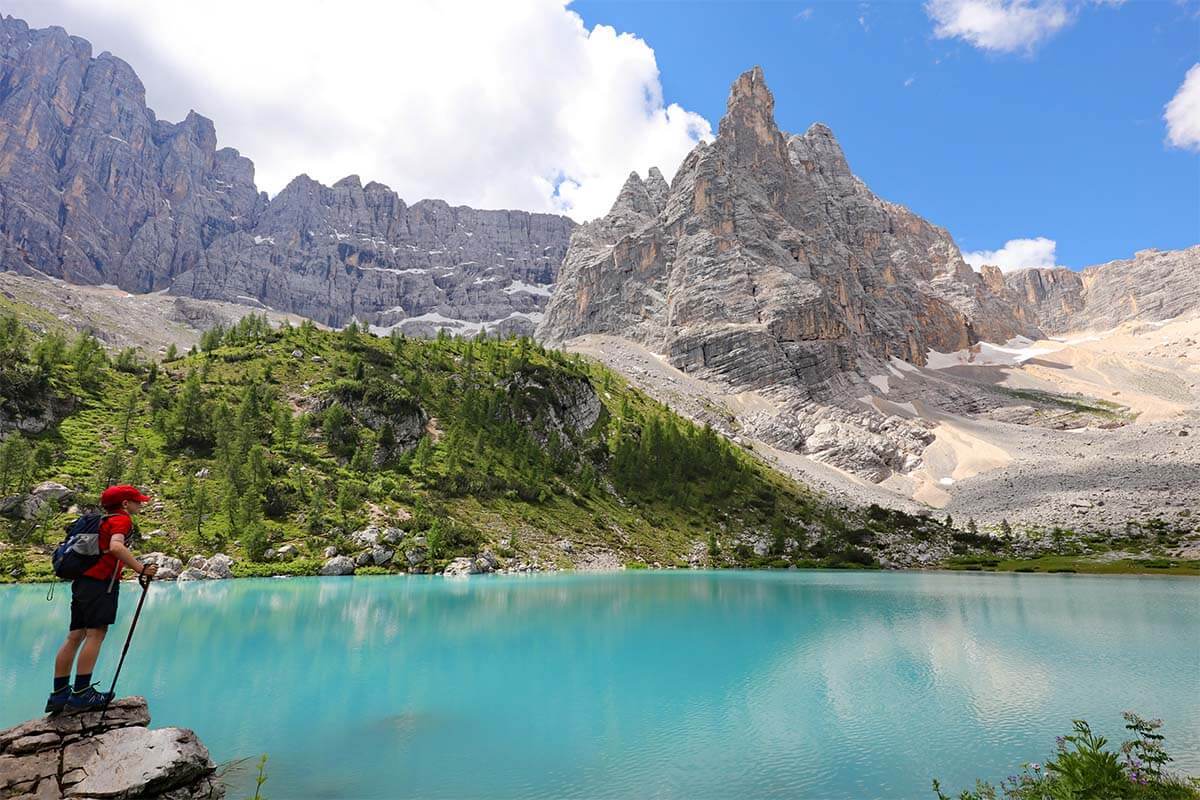
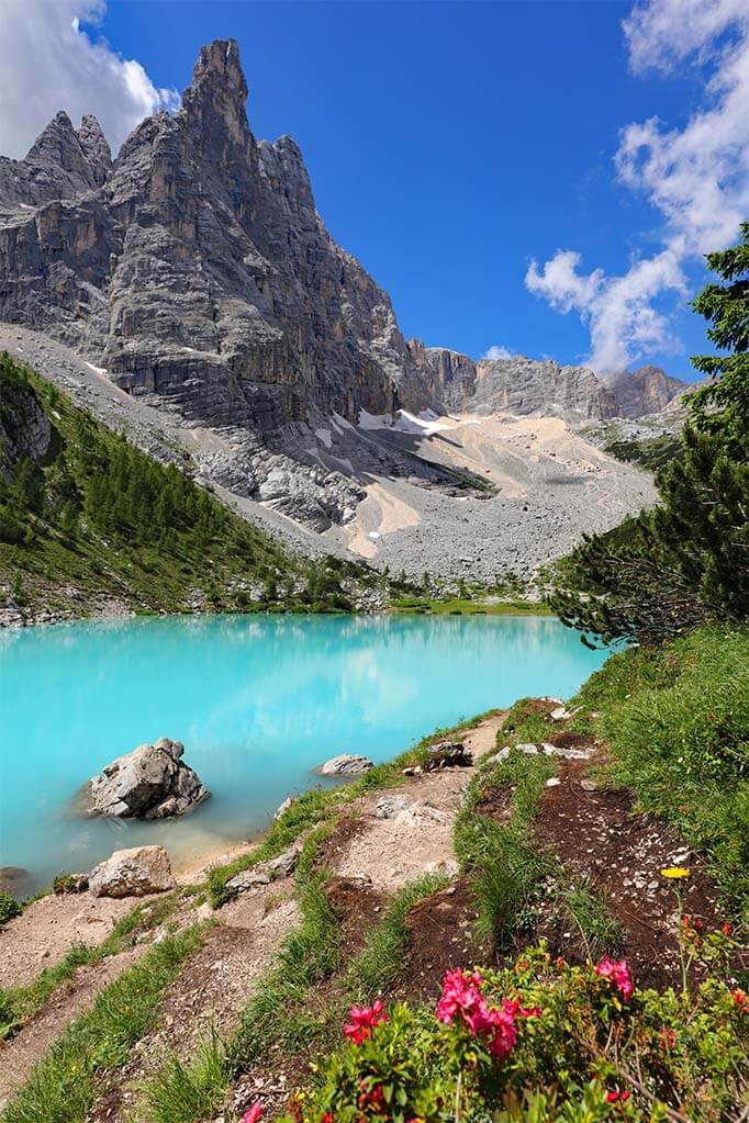
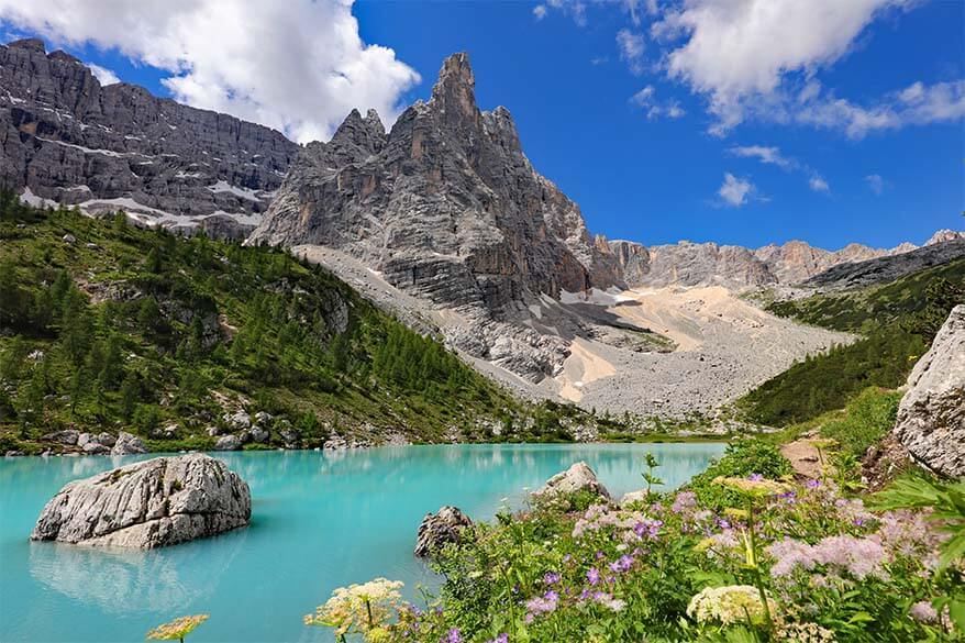
Lake Sorapis (Lago di Sorapis) is one of the most beautiful lakes of the Italian Dolomites. I think it could easily compete in the top-10 of the most beautiful mountain lakes in the world… It is incredibly picturesque, is surrounded by impressive mountain peaks, and the water has such special opal – turquoise color that it almost looks too beautiful to be real…
However, it requires some effort to reach this beautiful lake. In a way, that’s what makes it even more special!
In this article, you can find all the information about hiking to Lake Sorapis – where exactly to start, how long it takes, what to expect, and some experience-based tips to help you make the most of your visit. We hiked to Lago di Sorapis with kids and so we share insights for families as well. Find out!
READ ALSO: Hiking in the Dolomites – Best Hikes
Lago di Sorapis Hike Overview & FAQs
Officially, the total Lago Sorapis hike distance is 10.4 km. However, our GPS tracking app said that we hiked 12.5 km – about 6.2 km (3.8 miles) each way.
Lake Sorapis hike takes about 4-5 hours: about 2-2,5 hours each way.
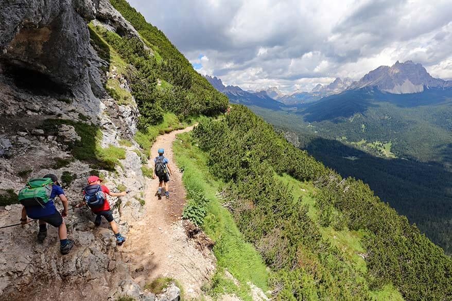
Lago Sorapis is a moderate hike. There are some very easy flat sections, but also some really demanding ones. Some parts involve ladders, staircases, and narrow passages with metal cables for support.
You need good hiking shoes for the Lake Sorapis hike. Hiking poles can be useful. Even though we read that Via Ferrata equipment is advisory, we didn’t see anyone use it and we didn’t need it either.
According to the signs at the trailhead, 200 meters up and also back down. The official website of a local tourism board said 434 meters. Our GPS tracking app said that the elevation gain of Lake Sorapis hike is 318 meters (1.043 ft). Either way, it’s a steep uphill hike, but not too bad.
Lake Sorapis hike starts and ends at Passo Tre Croci (see more info & map below).
Lake Sorapis is a summer hike. Normally, it’s accessible between June and September. Weather permitting, you might be able to hike here at the end of May and in the beginning of October as well.
Close to the trailhead, you will find Hotel Passo Tre Croci and a small restaurant Baito San Zuogo. There is also a restaurant and bathrooms at Rifugio Vandelli, just before you reach Lago di Sorapis. There are no facilities at the lake itself.
If you are planning to do more hiking in the Dolomites, you may want to get this Tabacco map for the Cortina area (Lago Sorapis, Tre Cime) or this Tabacco map for the Val Gardena area. If you just go to Lake Sorapis, you don’t really need a map.
Good to know: Lake Sorapis is not a circular hike, so you hike there and back the same way. It is possible to take a different route on your way back (more info below), but it’s even more challenging and not necessarily nicer.
Additional information: Good hiking boots are a must. Don’t do this hike when it’s wet. Take enough water and – in summer – sun protection is a must.
Where is Lake Sorapis & Hike Map
Lake Sorapis is located in the Veneto region in the Italian Dolomite mountains. The closest bigger town is Cortina d’Ampezzo, one of the most popular and posh mountain resorts in the Dolomites.
Lake Sorapis hike trailhead can be found at Passo Tre Croci, a mountain pass 10 km east of Cortina d’Ampezzo.
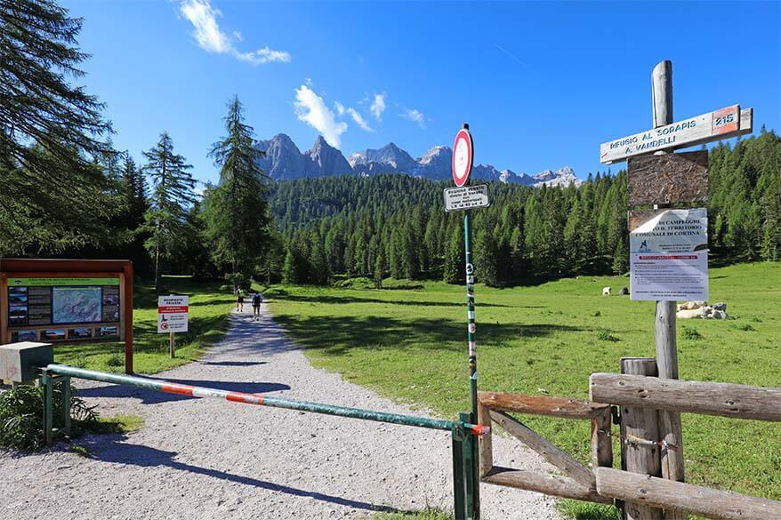
If you come from Cortina, the trailhead is located on the right side of the road about 100 meters after you pass the recently-renovated Hotel Passo Tre Croci (a great place to stay, btw!).
If you come from Misurina, the trailhead is on your left just before you reach the hotel.
Below, you can see a map where I indicated the exact location of the start of this hike and the entire hiking trail. Further below, you can find a hiking map of the area indicating Lago di Sorapis hike and the alternative trails.
Good to know: Don’t look for signs to Lago di Sorapis because the hike is indicated as trail 215 to Rifugio Vandelli.
I think I saw Lago di Sorapis mentioned just once, after we already found the trailhead. Rifugio Vandelli is a mountain hut that’s located just a few minutes walking distance from Lago di Sorapis and once you get there, the lake is just a few minutes walk further.
How to use this map: Use your computer mouse (or fingers) to zoom in or out. Click on the icons to get more information about each place. Click the arrow on the top left corner for the index. Click the star next to the map’s title to add it to your Google Maps account. To view the saved map on your smartphone or PC, open Google Maps, click the menu and go to ‘Your Places’/’Maps’. If you want to print the map or see it in a bigger window, click on ‘View larger map’ in the top right corner.
Getting There & Parking
Lago di Sorapis hiking trail can be best reached by car or by bus. It’s right on the main Dolomiti Bus route 30/31 that connects Passo Falzarego, Cortina d’Ampezzo, Misurina, and Tre Cime di Lavaredo.
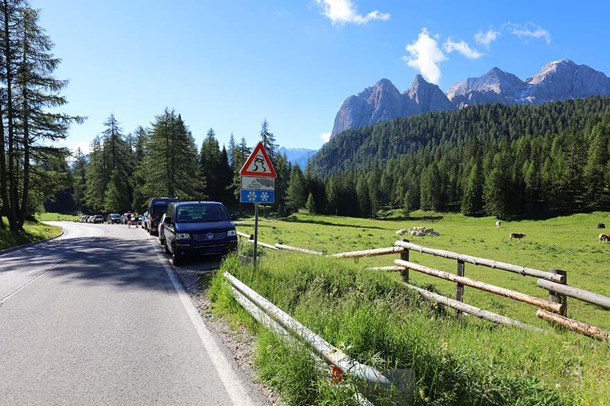
If you are driving, you can leave your car at the free parking area (quite a bit before you reach the Hotel Passo Tre Croci, if coming from Cortina). Or you can park next to the road. From the hotel, walk east following the main road until you see informational panels indicating the hikes of the area, including the Rifugio Vandelli hike to Lake Sorapis.
However, parking spaces are quite limited and the parking fills up very early in the morning. Most likely, you’ll have to park on the road and quite far away from the trailhead. In July and August, it’s practically impossible to find a parking spot nearby after 8.30-9 AM, even on weekdays. If you visit on a weekend, parking might be a serious problem and it might be wiser to take a bus instead.
TIP: Avoid weekends and try to start hiking early in the morning, ideally no later than 8-8.30 AM. That way you, can beat the crowds and parking problems and be back before afternoon storms start (rain and lightning in the afternoon is quite typical to the region and it was also the case on the day we hiked).
If the weather forecast looks very good, you can also do this hike in the afternoon, after most day hikers start to leave. However, the light for photography at Lake Sorapis is best in the morning.
TIP: Alternatively, stay at the Hotel Passo Tre Croci. This would solve your parking problem and would also allow you to hike to Lake Sorapis at the most beautiful (and quiet) times of the day early in the morning or late in the afternoon.
READ ALSO: Where to Stay in the Dolomites
Hiking to Lake Sorapis & Rifugio Vandelli
Once you find the lake trailhead, the rest of the hike is quite well indicated. There are just a few intersections and when you come across any of those, just follow trail no. 215 to Rifugio Vandelli. Most of the time, the hike will be quite busy and all you have to do is follow other people…
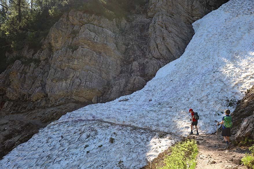
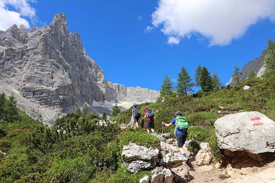
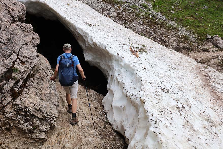
The first part of the hike is really easy – you follow a wide forest trail with little elevation change. After a while, the path starts to climb, but it’s still quite easy. After about half an hour, we came across a big field of snow that we had to cross, so hiking poles were really useful here.
From there on, you start going up even more, but it’s still quite easy. The views here are really nice and it’s a beautiful hike in itself. Just don’t forget to turn around and look behind you once in a while!
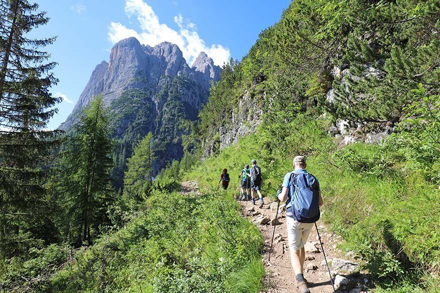
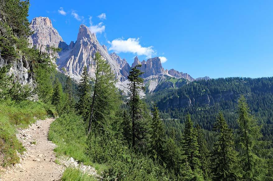
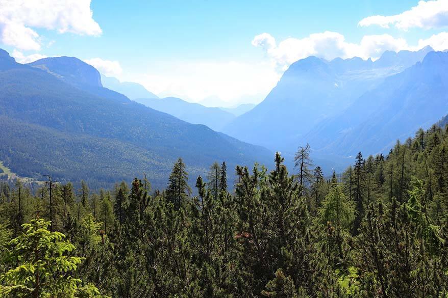
However, the second part of the trail is steeper and more demanding. There are several parts with metal ladders and exposed sections along the edge of the mountain. Some sections have metal cables for support, but there are also lots of places where there is no support at all.
If it’s dry and you are careful, there is nothing to worry about. However, if the path is wet, big stones on the path get extremely slippery and it might be quite challenging to negotiate those sections.
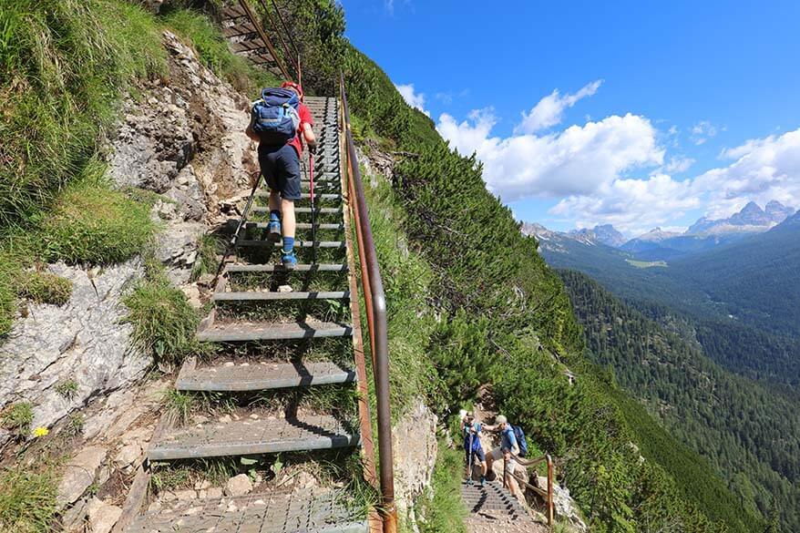
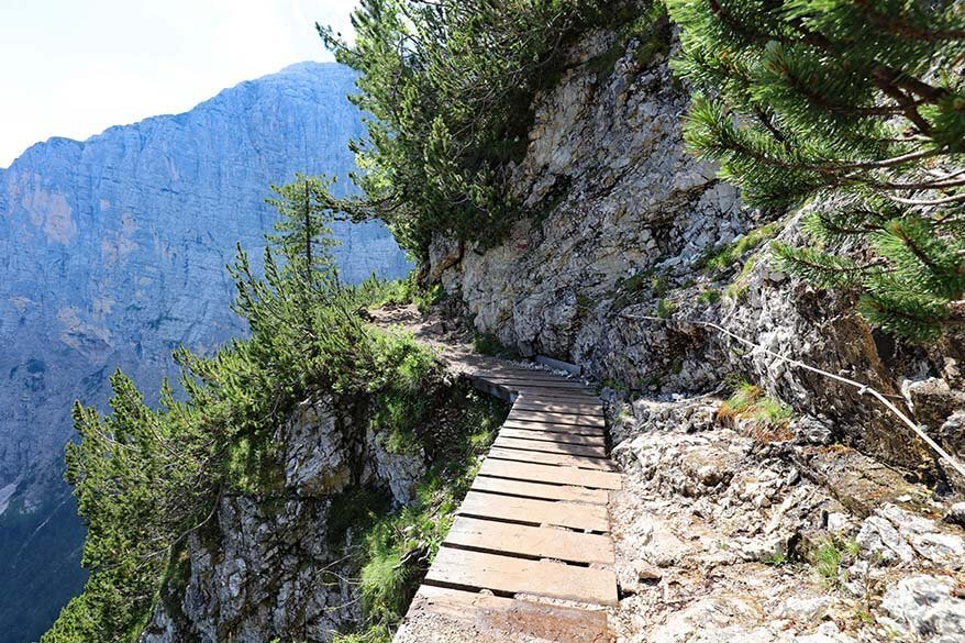
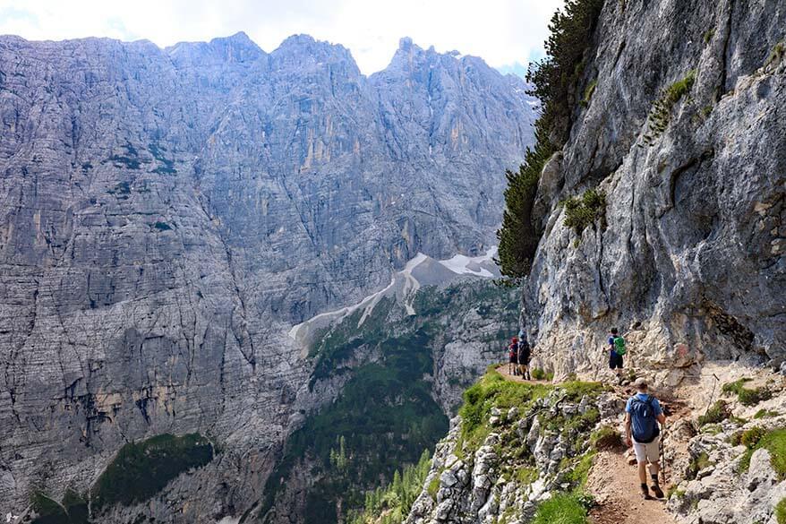
Lago Sorapis altitude is 1.923 m (6.309 ft). The total elevation gain of this hike is around 300-400 meters (according to our GPS app, 318m) and you sure feel it towards the end.
After about 1 hour and 45 minutes, we could finally see Rifugio Vandelli in the distance. From there, it’s 10 minutes hike to the mountain hut and another 5 minutes hike the lake. It took us exactly 2 hours to get to Lago di Sorapis. This includes all the photo stops along the way.
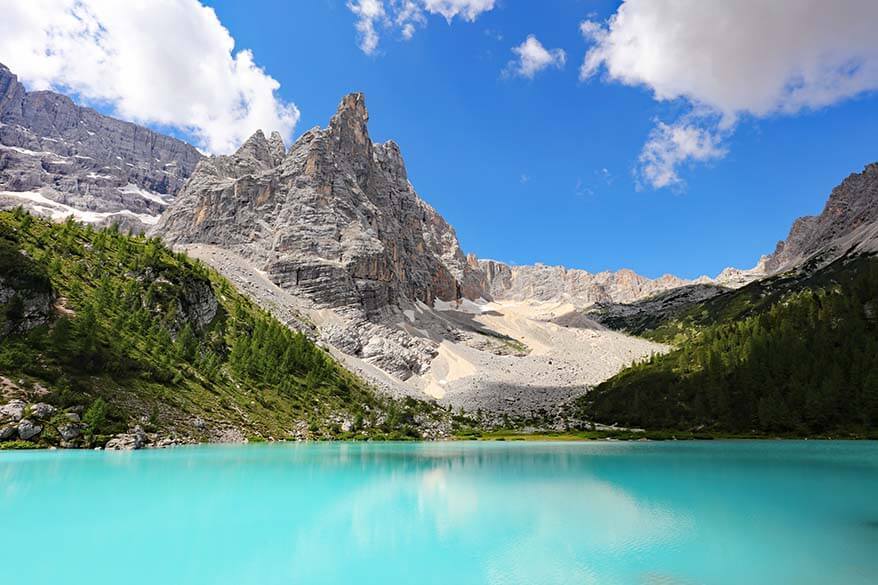
The lake is located just a bit further, after you pass a turnoff to Rifugio Vandelli. You cannot see the lake until you’re right in front of it. But when you finally get the first glimpse of Lake Sorapis, it’s a real WOW effect!
Lago di Sorapis
Nothing can quite prepare you for the scenery and the stunning colors of the lake. No matter how many pictures you’ve seen it, the reality will take your breath away!
What makes Lake Sorapis so special and so picturesque is its stunning color. The opal/ milky-blue color is created by the fine rock dust coming with the meltwater of the nearby glacier. Furthermore, the lake is surrounded by stunning mountains that give it the most beautiful backdrop. The highest and most prominent peak of them all is the 2,603-meter-high pinnacle called God’s Finger (Dito di Dio).
The lake is formed in the rock and there are no visible outflowing rivers or waterfalls. It has an underwater outflow that emerges further away in the waterfall El Piss.
You cannot see this waterfall during this hike, however. There might be other hiking trails leading to it – I didn’t research that. I read that this waterfall is quite spectacular in winter. As its many cascades freeze, it turns into a picturesque ice-climbing location.
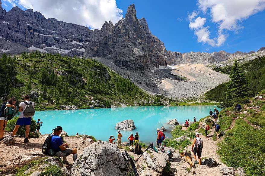
Lake Sorapis is incredibly popular and so the chances are high is that it will be very busy when you arrive there. Also for that, it’s best to come here as early in the morning as you can. We started our hike at 9 AM and were at the lake at 11 AM and it was still ok. We were not alone, but it was enjoyable.
We walked a bit further around the lake, had a picnic lunch, took some pictures, and by the time we were back at the ‘front end’ of the lake just before noon, it was already really busy there.
TIP: If you have time and want to hike a bit more, you can walk to the other side of the lake. Just follow the path on the right side, anticlockwise. There, you’ll find a flat grassy shore that’s much quieter than the main area where the hiking path arrives. It might be a good place for a picnic or to escape the crowds, but the very best views are actually at the place where you first arrive after following the hiking trail no. 215.
Additional hiking suggestion: If you want to hike more, continue even further to Tonde del Sorapis. More information about this hike and a map – further below.
Social Media Hype & Photography
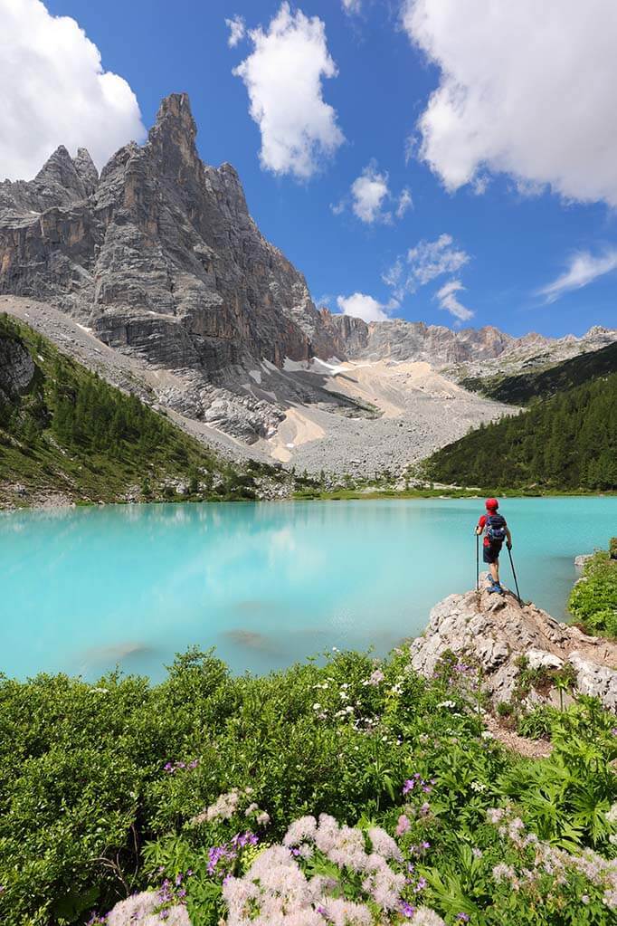
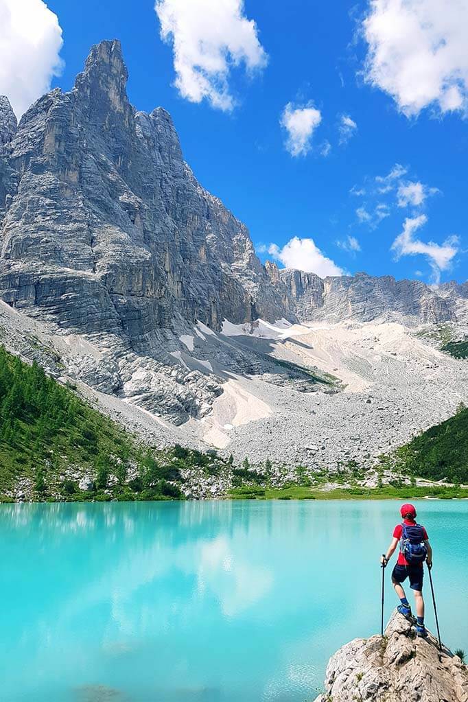
In the past only known to insiders, Lake Sorapis has become extremely popular in the last few years because of social media. And the effect is unbelievable! The minute I posted a picture with my son at the lake on Facebook and on Instagram (see also the picture below or give us a follow on FB or IG!), I got three private messages from family and friends asking where it was. Many more people followed after that…
A week later, my Lithuanian relatives who were in the region took a serious detour just to go hiking to Lake Sorapis. A few days after that – our Belgian family members did the same… And all that because of this one picture…
I haven’t really checked Instagram images recently, but it was quite funny to see so many people trying to jump on a stone a few meters from the shore in order to take a picture on it. I assume that this means that Instagram influencers have shared some jaw-dropping images with themselves standing or sitting on a stone… But most people never hiked any further to even try to see if there maybe was another stone to climb on…
TIP: If you walk just a bit to the right along the lakeshore (as indicated in our map above), you’ll find another picture-perfect stone. It’s right on the shore, so you can easily stand or sit on it and get some amazing pictures without having to perform any dangerous maneuvers whatsoever.
Anyway, forget Instagram and perfect images and just enjoy the scenery! It’s really quite difficult to take a bad picture here anyway…
Good to know: The best light for photography at Lago di Sorapis is in the morning when the sun is behind you when facing the lake. In the afternoon, the sun would be in front of you making it more difficult to take good pictures. Needless to say, the color of the water is much brighter and blue on a sunny day than when it’s cloudy.
Camping and Swimming at Lake Sorapis
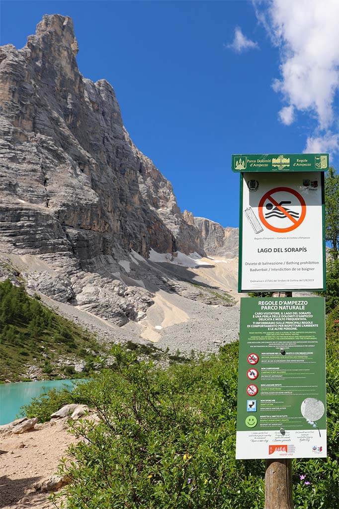
Swimming in Lake Sorapis is not allowed. Boats are also forbidden. So no need to carry that canoe or paddleboard all the way up the mountain ;).
Camping at Lake Sorapis isn’t allowed either. Instead, you can stay at Rifugio Vandelli – see below.
You are allowed to take dogs on the Lake Sorapis hike, but – according to the signs – they should be on a leash.
Rifugio Vandelli
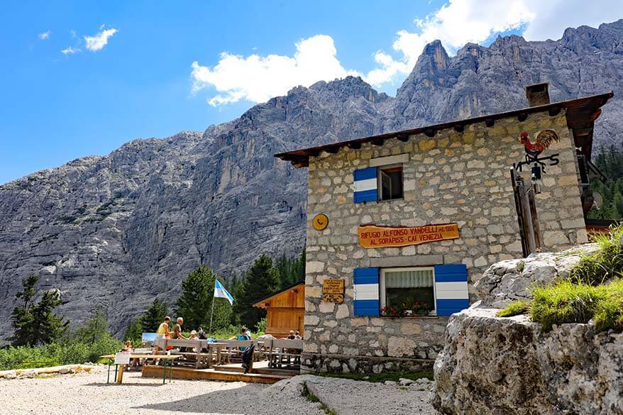
Rifugio Vandelli, a mountain hut that’s located at 1.926 m altitude just a few minutes before you reach Lake Sorapis, is also worth a stop. The original mountain hut has been built here in 1890 (!) and its location is simply stunning.
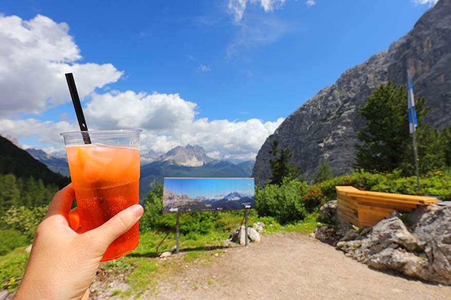
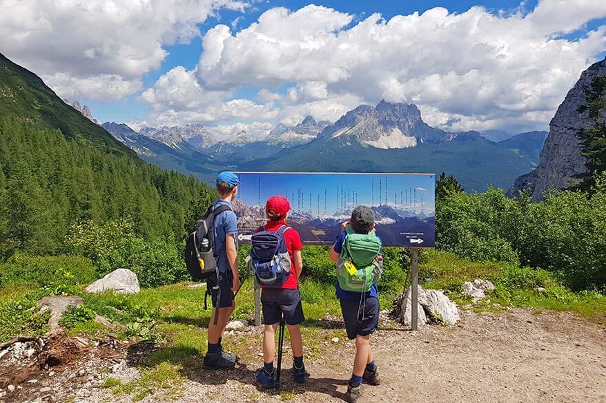
Take a seat at one of the outdoor tables, get a cold drink, and enjoy incredible views stretching many kilometers away. From here, you can see the famous Tre Cime di Lavaredo peaks, Misurina Lake and Hotel Misurina, and countless other mountain peaks of the Dolomite mountains.
As already mentioned, you cannot see Lake Sorapis from Rifugio Vandelli, but that’s probably a good thing as it makes a visit here more enjoyable. It seems that the majority of the people hiking to the lake don’t make an effort to come to the mountain hut. Yet, the views are really worth it! Not even to mention that this is a great place to reward yourself with a nice drink or some traditional deserts after a strenuous hike.
Good to know: There are bathroom facilities, a restaurant, and you can also spend a night here (although booking in advance is recommended in high season). If you want to have Lake Sorapis all to yourself in the morning or late in the evening, then staying at Rifugio Vandelli is probably your best bet.
Hiking Back to Passo Tre Croci & Alternative Hikes
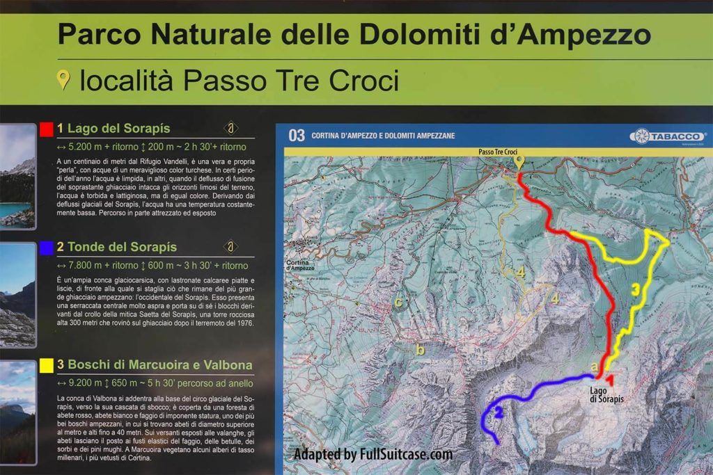
After visiting Lake Sorapis and Rifugio Vandelli, you can continue further along trail no. 215 to Tonde del Sorapis. This will add 2.6 km, and a steep uphill climb of 1 hour to your hike (plus the same distance and one hour return). I indicated this hike in blue on the map below (#2).
Please note that some sources indicate that you need Via Ferrata equipment for the Tonde del Sorapis hike (but they also say you need it for Lake Sorapis hike, which wasn’t the case). Since we didn’t do this section, I cannot comment on this. So make sure to do your research or ask at Rifugio Vandelli for the most up-to-date situation.
For the hike back to Passo Tre Croci (car parking), you have two options.
The first option is the most popular and the easiest – take trail no. 215 back the same way you came. The hike to Lago di Sorapis and back is indicated in red (#1). This is the hike we did and the hike most people do.
Another option is to continue your hike following trail no. 217 and then trail no. 209, the so-called Boschi di Marcuoira e Valbona hike (indicated in yellow on the map below – #3). We didn’t do this hike so I cannot comment on it based on experience, but from everything I read and saw, it’s not really worth it. But if you want to see some different scenery and don’t mind a more strenuous track, it might be a good option for you.
Hiking to Lake Sorapis with Kids
You might be wondering if you can hike to Lago di Sorapis with children. Yes, you can hike to Lake Sorapis with kids, but it all depends on your family situation. How many adults/ kids you have, are kids good hikers, will they stay close to you during the hike, and are you willing/able to carry them if needed.
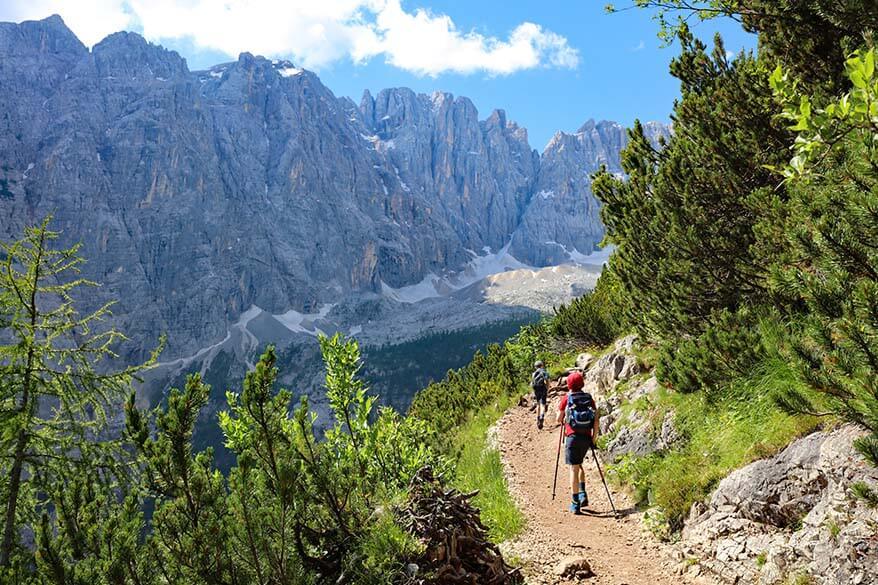
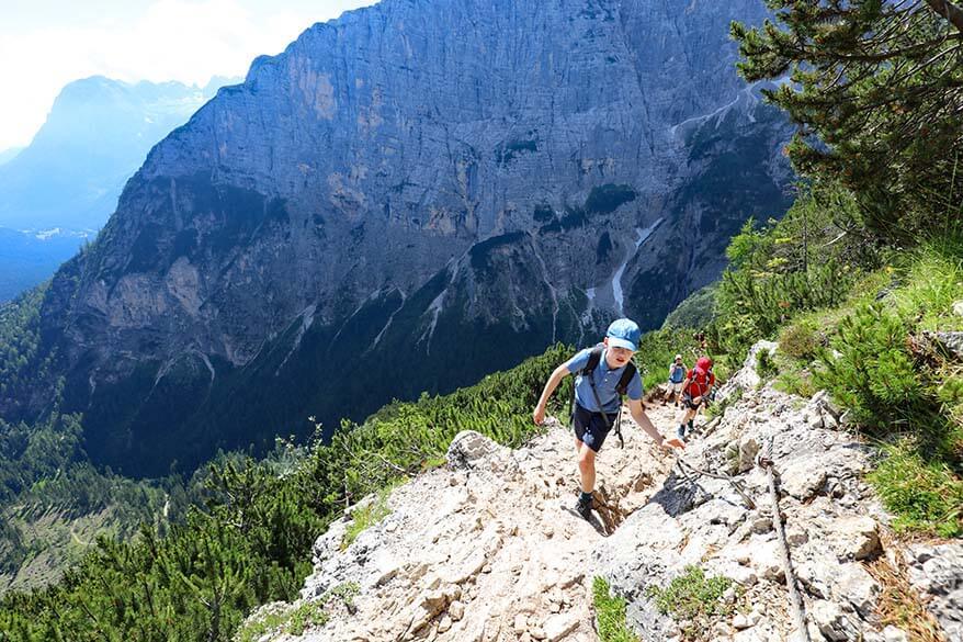
We hiked to Lake Sorapis with our three boys age 9, 9, and 11 and they did it amazingly well. In fact, we constantly had to ask them to wait for us. I believe that they would have easily hiked to the lake in less than 1.5 hours if it wasn’t for us, old folks…
That being said, there were quite some steep and exposed sections where I wouldn’t have been at ease with younger kids. If you have just one child per adult and your kids are good hikers, I think you could attempt to do this hike with kids from about the age of 5-6 years. If you decide to hike here with younger kids, you’ll really need to help them at quite a few places.
We saw just one family with a really young child (about 3-4 years old) and he was walking on the flat sections, but his dad had a carrier backpack with him.
Is Lake Sorapis Worth It?
If you can hike 4-5 hours, don’t mind some climbing and don’t have fear of heights, then yes, Lake Sorapis is absolutely worth it. It’s one of the most beautiful mountain lakes you’ll ever see and the scenery justifies all the effort of getting there.
Furthermore, the scenery along the Lake Sorapis hike is very beautiful and the hike would be worth it in itself. Lago di Sorapis is just the cherry on the cake.
TIP: Just try to avoid busy summer weekends and start early in the morning so that you can truly enjoy the experience!
So, this is our guide for hiking to Lake Sorapis. If you have any questions, feel free to leave a reply below and we’ll try to help.
TIP: Make sure to also check our guide to some of the best places to visit in the Dolomites. It has all the musts that are worth your time the most – check it out! If you are wondering how to plan your trip and make the most of your time, check out our Dolomites itinerary suggestions (for any trip duration).
READ ALSO: Tre Cime di Lavaredo Hike & Cinque Torri Hike
More travel inspiration for the Dolomites:
- Most beautiful hikes in the Dolomites
- Most beautiful lakes in the Dolomites
- Where to Stay in Val Gardena
- Marmolada Mountain (known as the Queen of the Dolomites, no hiking required)
- Pragser Wildsee – Lago di Braies (must see, easy hike optional)
- Toblacher See – Lago di Dobbiaco (no hiking required)
- Lago di Limides (picturesque mountain lake, very easy hike)
- Lago Federa (stunning hike via Forcella Ambrizzola – check it out!)
- Val di Fumo Hike (one of the best hikes in Trentino)
- Trentino with Kids (off the beaten path, activity-filled trip)
More travel inspiration for Northern Italy:
- Best Things to do in Venice (and how to visit Venice by car)
- One Day in Venice & Three Days in Venice
- Best Things to do in Verona
- Lake Garda (and Lake Garda Itinerary)
- Best of Lake Como (and Lake Como Travel Tips & Info)
- Best Things to Do in Milan & One Day in Milan
- Best Things to Do in Lake Como (and Tips for Visiting Lake Como)
- Bellagio (Lake Como)
TIP: Did you find this guide helpful? Bookmark this post for later, share it with your friends, and save it to Pinterest to inspire your next trip.
More travel inspiration and tips for visiting Italy:
- What to see: Best Places to Visit in Italy
- Cities: Most Beautiful Cities in Italy
- Food: Italian Food by Region
- Cinque Terre: One Day in Cinque Terre & Info for Visiting Cinque Terre
- Tuscany: Most Beautiful Towns in Tuscany & Tuscany Itinerary & Best Things to Do in Siena
- Florence: Best Things to Do in Florence & 1 Day in Florence & Best Rooftop Bars in Florence
- Amalfi Coast: Amalfi Coast Itinerary & Travel Tips for Visiting Amalfi Coast & Where to Stay on the Amalfi Coast
- Capri: What to See in Capri & What to Do in Anacapri & Where to Stay in Capri
- Emilia Romagna: Emilia Romagna Itinerary & Best Things to Do in Bologna
- San Marino: San Marino Travel Guide
- More… for many more cities and destinations all over Italy, please check our Italy travel guide.



Just hiked this today. There were about 400 other people on this trail. The narrow sections were dangerous, in my opinion, because enthusiastic hikers were trying to pass on the narrow sections where the cables are. There was a lot of waiting for hikers to go through these narrow sections and on the stairs. Completely overcrowded and frankly not enjoyable. My husband got bumped by a young hiker and slid off the trail at one point, thankfully he did not fall off the edge. This is a very beautiful hike, but if you see a full parking lot and cars along the road for approx 1 mile .. maybe hike somewhere else or at least know what your getting into… it will not be a peaceful experience
Hi Carol, thanks so much for sharing your experience — that sounds really stressful, and I’m glad your husband is okay!
Lake Sorapis is absolutely beautiful, but you’re right: it has become extremely popular, and the narrow sections can feel unsafe when it’s crowded. I can’t believe it’s still this busy mid-September, likely because it’s a weekend… Visiting early in the morning on a weekday in the shoulder season is probably the only way to enjoy this hike still.
Enjoy the rest of your trip and try to get a bit off the beaten path. There are so many beautiful trails in the Dolomites! The tricky part is that once hidden gems get shared, they often become crowded a few years later. But the good news is, there are still plenty of lesser-known hikes to discover if you go a bit off the main routes.
Hello Jurga,
Thank you for sharing the tips and great photos!
We plan to visit Lago di Sorapis in early Oct, and we saw some hikers experienced the lake with extreme low water level before (so less beautiful, not sure the season). May I ask if you know where may we check the water level before visiting? Thanks a lot 🙂
Hi Michael, I really wouldn’t know. I would think that your best bet to get an idea of how the trail and/or the lake looks like in the shoulder season is to check the most recent reviews on Google Maps or so.
Have a great trip!
Hi Jurga, thanks for your kind advice, fingers crossed for a good weather! 👍🏼
Hello Jurga,
And thank you very much of all our travel tips! I have found them very helpful starting from what to see in Venice and where to hike in Dolomites. Your detailed stories and beautiful pictures are amazing – thank you!
Do you know if it is able to check present snow situation before hand (except starting hiking and be prepared turning back)? We really like’d hike to Lake Sorapis in 11th of May, but not taking any stupid risks. I heard this year has been less snow than usually🤔
Hi Merja, normally, May (and in some years even early June) is too early for this hike. Even if the snow is melting, it will not be gone completely, plus it will be very wet. I’m also not sure what you would get to see if you reached the lake.
To give you an idea, the mountain hut there usually only opens in mid-June.
The only way to find out how it is is to try it yourself, but personally, I wouldn’t recommend it at this time of the year.
I just checked a few webcams in the Cortina area and there is still snow everywhere in the mountains…
Hi! We are headed to the Dolomites in June this year and I will be about 20 weeks pregnant with our second child. Would you attempt this pregnant? Thank you!!!
Hi Taylor, I really don’t know what to say. I don’t think anyone could/should advise you on this as only you know your own body and your limits. If you are very sportive and hike a lot, then it could probably be doable, but keep in mind that it’s an uphill climb, with some stairs and narrow sections and steep drops…
There are so many stunning places in the Dolomites and many other lakes too that don’t require much effort to visit. So you can find plenty to see and do without taking unnecessary risks.
Have a great trip!
@Jurga, Thank you for the additional insight! I think we will be making our decision the day of and will just go to Lake Braies instead if I’m worried I won’t be able to do it!
I have done some research and it looks like Trail 217 from Via Valle Ansiei is a shorter hike than the normal trail from the north. Can you confirm that 217 goes to Lago di Sorapis?
Hi Philip, it looks shorter indeed, but I think that it’s likely much steeper and not nearly as scenic. But we haven’t done it so I really cannot comment on how it really is. I’m also not sure about the roads to get there or the parking possibilities.
My experience is that usually there is a very good reason why the majority of people do a certain hike in a certain way. But if you do try it, please let us know how it went. It can be useful to others.
Thanks!
Hi Jurga, I’m going in April 22th and I would like so much to go there, but all I read about it’s saying to go on summer, I’m afraid to book hotel etc and go in April and the lake be frozen or kinda dry .. do you think worth to go to the sorapis lake in late April ?
Hi Vanessa, April can still be quite cold and everything at high altitudes is normally covered with snow.
It’s not an easy hike even in the summer – with stairs and metal chains for support. So I really don’t think it’s even possible at this time of the year. Not even to mention that you wouldn’t see anything. The lake is quite likely just a big white spot in the white landscape.
So no, it’s really not worth going and risking your life. There are many better places to visit in Italy at this time of the year.
If you are going to the Dolomites, you could try visiting Lago di Braies. It’s easy to reach by car and is very nice even in the snow.
@Jurga, thank you so much for your reply, it was really really helpful… 🙂
Dear Jurga,
Thanks a lot for the helpful and detailed articles. They really help me plane our trip to the Dolomites next week.
If you had to choose one of the two treks to lakes options – Sorapis or Federa, which would you choose?
Thanks,
Alon
Hi Alon, Lake Sorapis is much more picturesque than Lake Federa, and the shortest hike to Federa is not nearly as scenic as the hike to Sorapis. So if you do just one of them, I’d definitely go for Lake Sorapis.
We hiked to Lake Federa from Passo Giau and it was very scneic, but it’s a much longer hike and requires more logistics.
Enjoy your trip!
We are heading here tomorrow and feel so prepared for it given your detailed description. Thank you all for taking the time out to write this guide.
From Katie and Aoife from Ireland
Glad to help, Katie. Hope you had a great hike and could experience Lake Sorapis at its best.
Happy travels!
I absolutely admire you as you allowed your kids to hike in those narrow paths. What an adventure! You’re teaching them well. Your kids are surely skilled, as well! For those young ages, they have already made more adventure than me! Thanks for all the information – they helped me a lot in planning my visit. Keep safe, Jurga.
Thanks, Eljon. Our kids are used to so much that they don’t even consider many of these hikes that adventurous anymore. 🙂
Hope you get to visit the Dolomites and hike to Lake Sorapis. It’s really worth it.
Happy travels!
Thank you for the information! Question: any idea (in your opinion) if this is doable the last week of September? We are going in a couple of weeks and will be in Cortina and really want to do this hike!
Hi April, normally, it should be doable, but it’s really hard to say in advance. We’re having the strangest summer here in Europe this year – the wettest ever in some places, the hottest ever in the others. So who knows how the fall will be. But you can always plan some time for this hike and if the weather would be unfavourable, there are so many other places to visit near Cortina that are lower/ easier to reach.
Hope it works out for you!
@Jurga, Thank you ~ I’ve read a good amount of people’s reviews of hikes but your information is really detailed and thoughtful! I really appreciate the work you’ve done to pass on information on these hikes!
Grazie!
Glad to help, April. Enjoy the Dolomites!
Hi Jurga, I’m planning a few days of hiking in the Dolomites with my 10 year old son and I just wanted to thank you for all your notes and tips – especially for this hike! I had heard there were steep and dangerous parts, but from your photos, I can see that this is really and achievable hike for the two of us. Brilliant info and I will be downloading your map onto my phone. Thank you!
Glad to help, Lynn. We also hike with kids and I know how difficult it can be to estimate which hike is suitable for all of us in advance. Lake Sorapis hike is really nice and very varied, our boys loved that it had some more challenging parts. But you have to be careful at the section where there are metal cables and right after that it’s also quite narrow with a big drop next to you – but it’s not any different for a 10-year old than it is for adults. Try to do the hike when it’s dry and you’ll love it!
PS. If you’re looking for more hiking suggestions, check out our Dolomites hiking guide. I particularly recommend the Tre Cime hike, and the kids really enjoyed Cinque Torri hike with all the WWI trenches and history. Both of these are in the same part of the Dolomites as Lake Sorapis.
Have a great trip to the Dolomites!